As-Built Conditions in Custom Home Building: What Are They, Why Are They Important, and What's the Best Way to Address Them?
- Adam
- Mar 14, 2024
- 2 min read
Gathering as-built conditions has historically meant that an architect or draftsperson would come to your home and take measurements and notes, normally on paper, so that they may go back to their office and begin the layout the details of how the home looks and works today.
This starting point is critical because in order to arrive at the exacting details to price and manage the construction, one first needs to have an accurate starting point. Whether you are an architect, builder or tradesman, gathering as-built measurements and existing conditions is a pain in the ass. Running back out to the job site to confirm measurements or get more detail can become a big-time suck. Even worse, discrepancies can cause very expensive mistakes in the field.
Today’s technology allows you to capture all of that information up front, so that it’s available at your fingertips for future reference, providing accurate as-builts on steroids. Think about being able to open a file on your desktop and experience the space as if you are standing in it, with the ability to capture all the details and measure them, all without ever leaving your office.
Scan-to-BIM is a process whereby a high-powered scanner is used to gather three different types of data: LiDAR, photogrammetry & satellite.

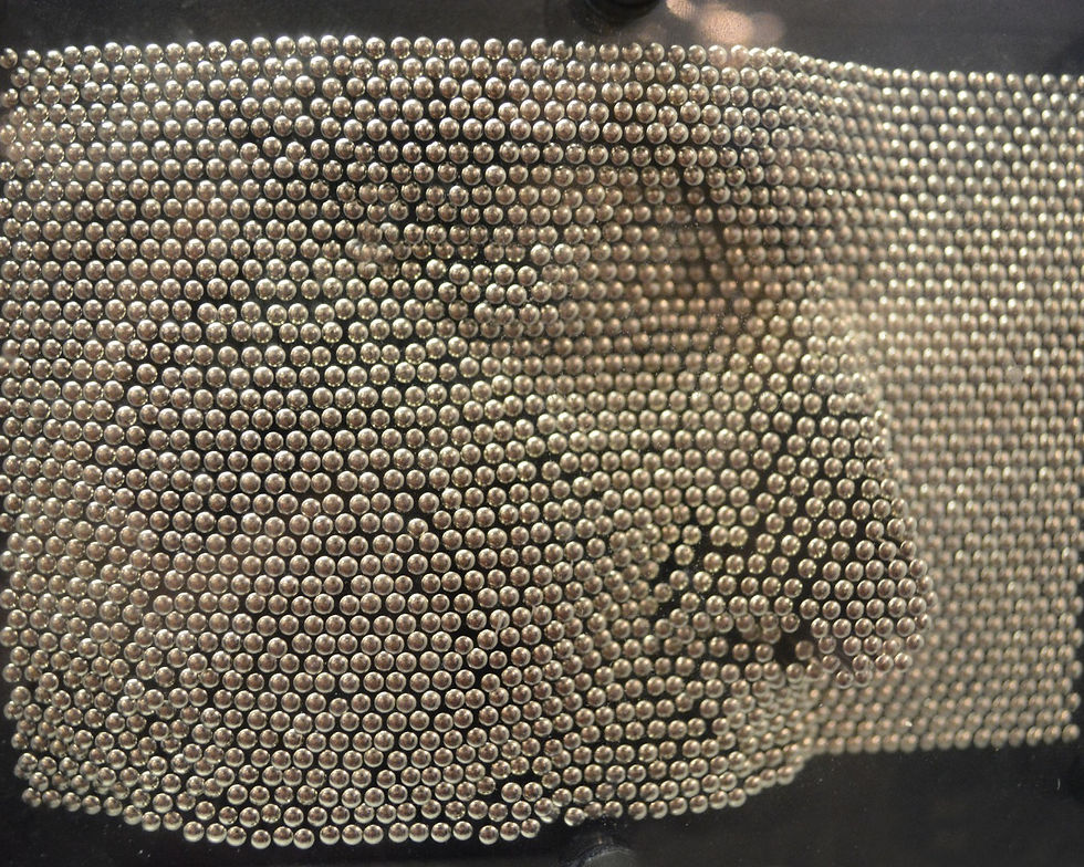
The LiDAR allows you to see in a three-dimensional model what the light stopped on. Think of a pin pad that you likely played with as a child (right). The more pins there are (lights) and the more closely they are positioned (density) the more accurate the impression. The best scanners on the market today can offer high density lidar that offers accuracy within 2 mm from up to 10 meters away from its target.

Photogrammetry is the usage of multiple still images to create an accurate and navigable 3D model. Not only can you see the photographic image of what the subject is, but you can see it in a three-dimensional context.

The Satellite function allows a user to take as many scans as they want, and use the satellite positioning to ensure all the scans are lined up correctly, confirmed and registed.
How the data is presented in a building information modeling tool can be adjusted to various Levels of Detail (LOD) depending on the need or stage of progress in a project.
To learn more about as-builts and how to use them in your projects, contact Craydl.
.png)

Comments